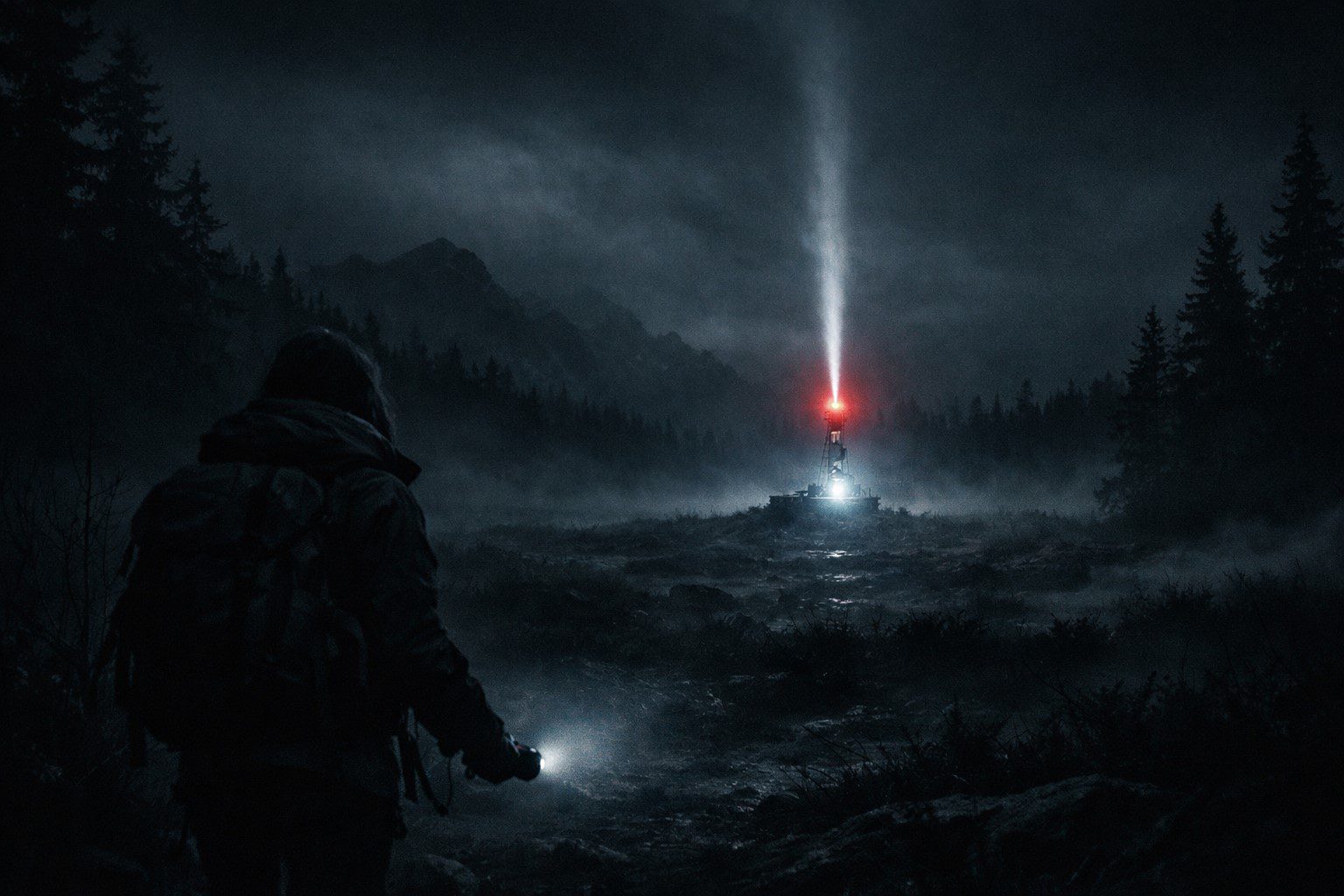
The distress beacon had been transmitting for eleven days from a location with no roads, no settlements, and no record of any permitted expedition. I was the one they sent to find out why, because I was the closest, because I was available, and because the last three people who had tried to reach that location had turned back without explanation.
None of them had explained why they turned back. That was the part that should have made me decline. It didn’t.
My name is Rosa Keel. I had been a search and rescue coordinator for the Northern Lakes region for seven years, which had given me a particular relationship with remote terrain — not fearlessness, which was dangerous, but a calibrated respect that kept you moving when other instincts said stop. I was forty-three, I was fit, and I had found people in worse places than the coordinates on my map. The beacon signal was strong and consistent, which was more than you could say for most distress situations, and strong and consistent meant someone was alive and holding on.
The three teams who had turned back had all reported the same thing when they were debriefed: equipment malfunction. Navigation systems failing, compasses giving contradictory readings, GPS cycling between positions that were kilometres apart. Standard survival procedure when navigation failed was to mark your last confirmed position and return to base. All three teams had followed protocol. All three team leaders had been experienced.
I noted all of this and packed my kit and drove north.
I picked up the beacon signal on my receiver at roughly the point the previous teams had noted navigation issues beginning. The signal was strong — clear, rhythmic, the pulse of a properly functioning PLB rather than a damaged one. Whatever had sent three experienced teams back had not affected the beacon itself.
My compass was fine. My GPS was fine. I stopped and took readings every ten minutes and marked each one on my paper map, because paper maps did not malfunction, and by the second hour I had a clear and consistent trail pointing northeast into terrain that was elevated and exposed and, according to my map, essentially featureless.
Then the compass moved.
Not dramatically — a slow drift, three degrees east over the course of five minutes, while I stood still on a flat rock and watched it. I took out my backup compass. It read the same as the primary. Which meant the drift was real, not a malfunction — both instruments responding to the same local variation in the magnetic field.
I noted the position and the degree of drift and continued northeast, adjusting for the variation.
By the third hour the drift had reached eleven degrees and I was navigating almost entirely by paper map and terrain features. My GPS had begun cycling — not wildly, as the previous teams had reported, but slow and persistent, ten to fifteen metres of variance that compounded each time I tried to use it for a fix. I put it in my pack and worked with what I had.
The beacon signal was getting stronger.
I reached the ridge at just past midday and looked down into a shallow valley I had not been able to see from below. It was roughly circular, perhaps four hundred metres across, bounded by rock walls that explained why it didn’t appear clearly on topographical maps — the valley floor was lower than the surrounding terrain suggested, a depression that would read as unremarkable from the air.
In the centre of the valley floor: a tent. Orange, single-skin, the kind of lightweight shelter you carried when weight was the primary concern. And beside the tent, sitting with their back against a rock and their face turned up toward the ridge, a person.

 WhatsApp
 Telegram
 Email







Leave a Reply