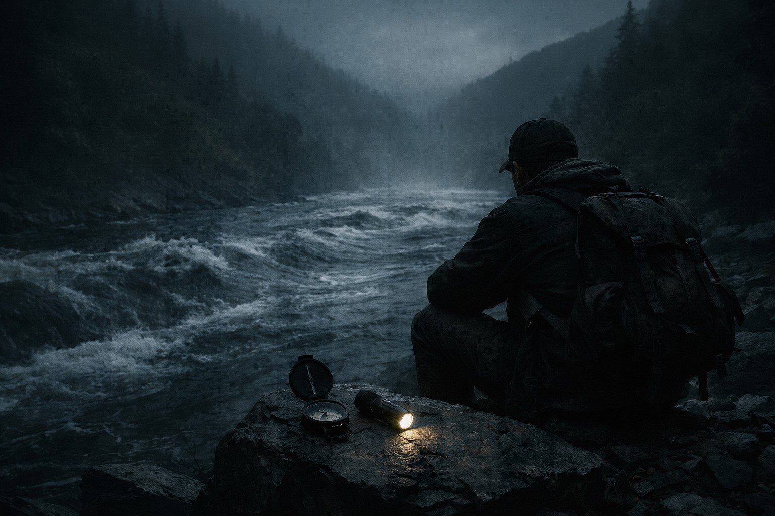
I had food for four more days, which was fine if I found my way out tomorrow and a problem if I didn’t. I had water — the river was wrong in its direction but it was clean, and I filtered it without incident. My shelter was good. My kit was complete. The practical situation was manageable. What was not manageable was the navigational situation, because I could not navigate correctly in a landscape that did not behave consistently.
I sat on the bank and thought about what I knew and what I didn’t know and what I could act on.
What I knew: the valley entrance was behind me, in the direction I had come from on the first day. I had walked into the valley from the east. The entrance was therefore east, and to leave the valley I needed to go east, and east was a fixed direction that my compass could give me regardless of what the river was doing.
What I didn’t know: why the valley was behaving as it was, and whether the entrance would be where my compass said east was, given that east had not reliably produced expected results for two days.
What I could act on: I could stop using the river as a navigational reference, ignore the inconsistencies in the terrain, hold a fixed bearing east, and walk until I either found the entrance or found that I couldn’t. If I kept notes of every bearing change and every time estimate, I would at least have a record of what I had tried. Records helped. Records were the difference between getting genuinely lost and being temporarily disoriented with documentation.
I ate something, drank water, checked the compass, and started walking east. I took a reading every ten minutes and wrote it in my field notebook. I noted landmarks where they existed and described the terrain where they didn’t. I walked for two hours, which should have brought me to the valley entrance based on my first day’s pace.
At the two-hour mark I found a camp. Not mine — someone else’s. Older. A fire circle with stones arranged in a pattern I recognised as the standard field arrangement, a method taught on wilderness survival courses. Rusted food tins. The remains of a shelter built from cut branches, long dead and dry. No identification, no documentation, nothing to say who had been here or when.
I stood in the middle of it and did a slow rotation, reading the ground. The camp had been occupied for some time — the fire circle showed multiple use, the earth around it was compacted and cleared. Someone had been here long enough to build a semi-permanent structure. Someone who had known what they were doing in the field.
In the centre of the fire circle, weighted under a flat stone, was a folded piece of paper in a waterproof sleeve. I opened it carefully. The handwriting was faded but legible. A name at the top — not one I recognised — and below it, a single paragraph.
It said: <em>If you are reading this, the compass does not work here. I spent eleven days before I understood why. The valley has a magnetic anomaly in the rock — I found the vein on day seven, iron ore, dense, runs north-south under the eastern slope. It pulls the compass east when you are trying to go south, south when you want east. I do not know why the river reverses. I never worked that one out. To leave: follow the river upstream — against the pull of it, not with it. Four hours. You will find the entrance. Do not trust anything else. Good luck. November 1987.</em>
I read it twice. Then I looked at the river, flowing its wrong direction away from me. Upstream meant following it, walking in the direction it was coming from, which my compass said was north but which — if the note was right — was actually east. East was the entrance. East was out.

 WhatsApp
 Telegram
 Email






Leave a Reply