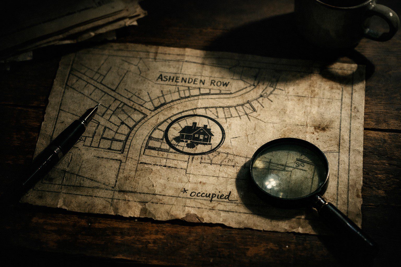
I walked the perimeter. I was counting steps and pacing out what I could of the old street’s layout based on the map. After about ten minutes I found what I was looking for, or rather I found something I hadn’t known I was looking for: a square of slightly different grass. Darker, as though the soil beneath it held more moisture. Roughly three metres by four. The size and shape of a small room.
There were no other squares like it on the green. I took a photograph and walked home.
I spent that evening looking at the four notations side by side in my photographs.
Occupied. Vacant. Waiting. Gone.
The occupied house was mine, on its original 1998 foundations. The vacant one, when I cross-referenced the map against the current street plan, corresponded to a gap between two terraced houses on the adjacent road — a narrow gap, perhaps two metres wide, that I knew and had never thought about. The waiting mark corresponded to the darker square of grass on the green. The gone mark was in the middle of what was now someone’s back garden.
I tried to frame these as coincidences of overlay — old map placed against new street plan, any pattern would emerge, confirmation bias doing what it did. I tried this framing for about an hour. It didn’t hold.
Because the marks on the map were from 1987. And the things they corresponded to — the gap between the houses, the different square of grass, the back garden — were configurations of the present, thirty-five years later. You could not confirm the present from a 1987 document unless the document was describing something that persisted through time rather than something that was built in a specific year.
Occupied. Vacant. Waiting. Gone.
Not descriptions of buildings. Descriptions of states.
I went back to Hester on Wednesday with what I had worked out. She listened carefully, which was what I valued about her, and she looked at my photographs of the corresponding locations, and when I had finished she was quiet for a moment in the way she went quiet when something had genuinely interested her.
“The notation system,” she said. “I found a reference to it last night. Not to this map specifically — to the style. It appears in two other documents in our collection from the same surveying period, both related to properties in this part of the town.” She pulled up something on her screen and showed me. “Both documents use the same four notations. Both were produced by a surveyor named Aldric Vos, who worked for the council from 1983 to 1991.”
“What happened to him?”
“He retired, as far as I can find.” She paused. “But his retirement notes — which are in the archive as part of a staff record collection from the period — contain something I thought you should see.”
She showed me a scanned document. Handwritten, two pages, dated 1991. The handwriting matched the notations on the map exactly. I read the first page in full and then read the relevant section again to make sure I had it.
Aldric Vos had spent eight years surveying properties in the borough. In his retirement notes, filed with the council records as a matter of course and apparently never read by anyone since, he described noticing what he called persistent sites — locations that retained certain qualities regardless of what was built on them or removed from them. He had developed a private notation system to record them, which he had applied to several surveys over his career without flagging it officially, because he could not have explained it in official terms.

 WhatsApp
 Telegram
 Email







Leave a Reply