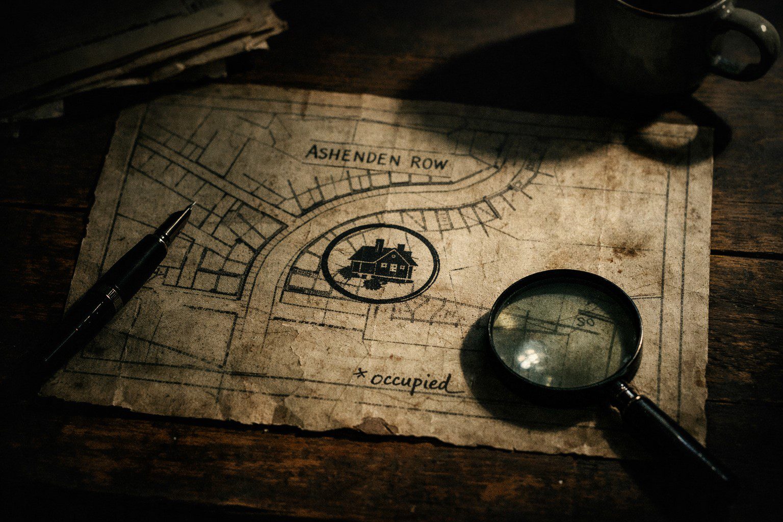
The map was dated 1987 and it showed a street that no longer existed — except for one detail that stopped me cold: in the centre of the map, where the old street curved north, was my house. My exact house. With a small mark in the margin and a note in handwriting I didn’t recognise that said, simply: occupied.
I found the map in a box of old documents I’d bought for three pounds at a car boot sale. I had not been looking for anything in particular. I had been killing a Sunday afternoon.
My name is Jo Wren. I was a secondary school history teacher, which meant I spent most of my professional life caring about documents, and when I found the map I held it the way I held things I wanted to understand before I touched them too much. I looked at it for a long time in the car boot sale car park before I drove home.
The street on the map — Ashenden Row — had been demolished in 1993 according to the local authority records I found that afternoon. A clearance project: the houses had been built in the 1890s and were listed as structurally inadequate. The land had been cleared, a small green space was planted in place, and the area was subsequently absorbed into the surrounding streets when a new development came in the late 1990s.
My house was part of that development. Built in 1998. There was no structural relationship between my house and anything that had stood on Ashenden Row a decade earlier.
And yet the map placed my house — my specific plot, my orientation, my footprint as close as I could measure it — at the heart of a street that no longer existed and had been gone for five years before my house was built.
I put the map on the kitchen table and made tea and looked at it from across the room.
I went to the local archive on Monday. The archivist was a patient and meticulous woman named Hester who I had visited twice before for school project research and who had the quality of someone who had spent decades in proximity to old things without being disturbed by what they contained. I brought the map and laid it out on the research table and explained what I had found.
She examined it for a long time. She looked at the handwriting, the paper stock, the cartographic style. She went to her system and came back.
“The map is consistent with a series of surveying documents produced for the council between 1985 and 1988,” she said. “Standard format for the period. Whoever drew it knew what they were doing — this isn’t amateur work.” She looked at my house’s location. “The notation system is unusual. These marks” — she indicated the small mark beside my house and three others I hadn’t noticed on the map — “are not standard survey notation. I’ve not seen them before.”
I counted the other marks. Three more, scattered across the old street’s footprint. Each with a note in the same handwriting. I hadn’t looked at the others closely enough in the car park.
I leaned in. The second note said: vacant. The third said: waiting. The fourth said: gone.
I photographed everything and thanked Hester and walked home via the green space that had been Ashenden Row. It was an ordinary Tuesday green space — a path, some benches, a children’s play area in the far corner. Nothing about it communicated its history. The ground was level and grassed and had the anonymous quality of land that had been cleared and replanted and was trying to be neutral.

 WhatsApp
 Telegram
 Email







Leave a Reply